
Ortswanderweg Rothenbuch 3
SityTrail - itinéraires balisés pédestres
Tous les sentiers balisés d’Europe GUIDE+

Lunghezza
8,9 km

Altitudine massima
436 m

Dislivello positivo
179 m

Km-Effort
11,2 km

Altitudine minima
323 m

Dislivello negativo
180 m
Boucle
Sì
Tag
Data di creazione :
2022-02-11 17:33:19.484
Ultima modifica :
2022-02-11 17:33:19.484
2h33
Difficoltà : Facile

Applicazione GPS da escursionismo GRATUITA
Chi siamo
Percorso A piedi di 8,9 km da scoprire a Baviera, Landkreis Aschaffenburg, Rothenbucher Forst. Questo percorso è proposto da SityTrail - itinéraires balisés pédestres.
Descrizione
Trail created by Spessartbund.
Symbol: Schwarzes R3 auf weißem Grund
Localizzazione
Paese:
Germany
Regione :
Baviera
Dipartimento/Provincia :
Landkreis Aschaffenburg
Comune :
Rothenbucher Forst
Località :
Unknown
Partenza:(Dec)
Partenza:(UTM)
526599 ; 5533487 (32U) N.
Commenti
Percorsi nelle vicinanze
Schwarzer Keiler, Rundwanderweg Neuhütten


A piedi
Facile
Neuhütten,
Baviera,
Landkreis Main-Spessart,
Germany

5,5 km | 7,8 km-effort
1h 46min
No
Nordic Walking 4 Blau Weibersbrunn


A piedi
Facile
Rothenbucher Forst,
Baviera,
Landkreis Aschaffenburg,
Germany

4,8 km | 5,9 km-effort
1h 21min
No

Nordic Walking 3 Lila Weibersbrunn


A piedi
Facile
Rothenbucher Forst,
Baviera,
Landkreis Aschaffenburg,
Germany

4,8 km | 5,9 km-effort
1h 21min
No
Ortswanderweg Rothenbuch 2


A piedi
Facile
Rothenbucher Forst,
Baviera,
Landkreis Aschaffenburg,
Germany

7,4 km | 8,6 km-effort
1h 57min
No
Ortswanderweg Weibersbrunn 1


A piedi
Facile
Rohrbrunner Forst,
Baviera,
Landkreis Aschaffenburg,
Germany

5,4 km | 7 km-effort
1h 35min
No
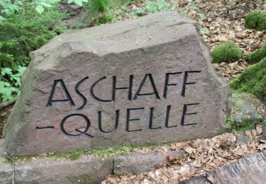
Grimm-Weg Waldaschaff


A piedi
Facile
Waldaschaff,
Baviera,
Landkreis Aschaffenburg,
Germany

7,6 km | 9,7 km-effort
2h 11min
No
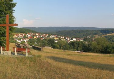
Roter Schmetterling, Rundwanderweg Heigenbrücken


A piedi
Facile
Weibersbrunn,
Baviera,
Landkreis Aschaffenburg,
Germany

7,9 km | 10,4 km-effort
2h 21min
Sì

Nordic Walking 2 Gelb Weibersbrunn


A piedi
Facile
Rothenbucher Forst,
Baviera,
Landkreis Aschaffenburg,
Germany

5,9 km | 7 km-effort
1h 35min
No

Schwarzer Keiler, Rundwanderweg Weibersbrunn


A piedi
Facile
Rothenbucher Forst,
Baviera,
Landkreis Aschaffenburg,
Germany

3 km | 4,5 km-effort
1h 1min
Sì


 SityTrail


